HomeLong-Endurance VTOL & Heavy-Lift UAVsSKYWALKER SKY245 2450mm Long-Endurance VTOL Mapping & Survey UAV Platform
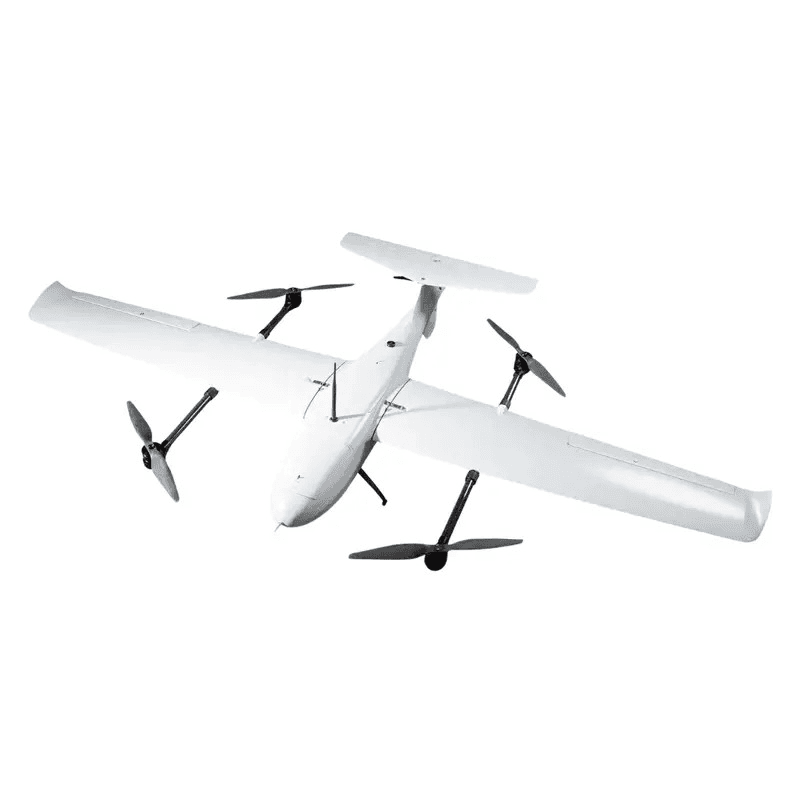
1 / 3
Category
Long-Endurance VTOL & Heavy-Lift UAVs
Status
ACTIVE
Variants
5
Spec fields
46
Long-Endurance VTOL & Heavy-Lift UAVsIn stock
SKYWALKER SKY245 2450mm Long-Endurance VTOL Mapping & Survey UAV Platform
SKYWALKER SKY245 2450mm Long-Endurance VTOL Mapping & Survey UAV Platform — available for export to Tonga. Indicative price T$16,700 (TOP, ex-works). Formal quote, lead time and end-user documentation on WhatsApp.
Skywalker SKY245 is a 2450mm professional VTOL mapping UAV with up to 240-min flight time, 3kg payload, RTK/PPK support and 50km links.
Base price
T$16,700
≈ US$6,990
Indicative ex-works price converted from INR (rates 2026-09-16). Final quote issued in TOP on WhatsApp/email.
Defense & export systems — get a formal quote with lead time and end-user documentation on WhatsApp.
Get Quote on WhatsAppRequest Quote by EmailQty1
Military-grade quality assured
Export-compliant documentation
24/7 engineering support
System Tags
skywalkersky245skywalker-sky2452450mm-vtolvtol-mapping-dronesurvey-uavfixed-wing-vtollong-endurance-uavprofessional-uav-platformcarbon-fiber-compositertk-compatibleppk-compatible
Mission configurations
Configuration(5)
Select your operational configuration. Pricing may vary — request a formal quote for deployment quantities.
Configuration matrix
Compare all variants
Side-by-side specifications — click a column to select
| Parameter | |||||
|---|---|---|---|---|---|
| Unit Price (TOP, ex-works) | T$16,700 | T$26,500 | T$16,700 | T$16,700 | T$16,700 |
| Stock | 10 units | 10 units | 10 units | 10 units | 10 units |
| SKU | FSP-SKYWALKER-SKY245-KIT | FSP-SKYWALKER-SKY245-PNP | FSP-SKYWALKER-SKY245-LR-COMM | FSP-SKYWALKER-SKY245-LIDAR-EOIR | FSP-SKYWALKER-SKY245-MAP-RTK |
Intelligence Brief
Mission overview
SKYWALKER SKY245 2450mm Long-Endurance VTOL Mapping & Survey UAV Platform
The Skywalker SKY245 is a professional fixed-wing VTOL UAV platform engineered for aerial mapping, land surveying, infrastructure inspection, precision agriculture, environmental monitoring, security operations and scientific research missions. Built with a lightweight carbon fiber composite airframe, the SKY245 combines Vertical Take-Off & Landing capability with fixed-wing cruise efficiency, enabling long-endurance missions without requiring a runway.
KEY FEATURES & BENEFITS:
- Professional Mapping VTOL Platform:
- • 2450mm wingspan for stable long-range fixed-wing VTOL flight
- • Up to 240 minutes flight time depending on battery, payload, wind and mission profile
- • Up to 3kg payload capacity for mapping, survey, thermal, EO and LiDAR-class payloads
- • Maximum takeoff weight up to 13.5kg
- • High-speed mission capability with 75km/h cruise speed and up to 120km/h maximum speed
- Survey-Grade Navigation & Communication:
- • RTK and PPK compatible for survey-grade mapping workflows
- • Communication configurations available for 15km, 30km and up to 50km range
- • Video transmission and ground control station integration available
- • Autonomous mission planning support through compatible flight-control systems
- Field-Ready Airframe:
- • Carbon fiber composite construction for rigidity, durability and lightweight performance
- • Electric VTOL lift system with electric tail-push cruise propulsion
- • Smooth VTOL transition flight for runway-free operations
- • Level 6 wind resistance for demanding outdoor missions
- • Modular quick-assembly design for professional field teams
APPLICATIONS: Aerial mapping and photogrammetry, land surveying and GIS data collection, precision agriculture and crop monitoring, construction monitoring and corridor mapping, powerline/railway/pipeline inspection, forestry and environmental monitoring, long-range observation missions, security and surveillance operations, scientific research and UAV development, search and rescue support.
FREQUENTLY ASKED QUESTIONS:
Q: What is the Skywalker SKY245 used for? A: The Skywalker SKY245 is used for aerial mapping, land surveying, infrastructure inspection, precision agriculture, environmental monitoring, security operations and scientific research. It is designed for professional teams that need long endurance, VTOL deployment and survey-grade payload flexibility.
Q: What is the maximum flight time? A: The SKY245 can achieve up to 240 minutes of flight time under optimized battery, payload and mission conditions. Actual endurance depends on battery capacity, payload weight, wind, altitude, cruise speed, flight profile and safety reserve planning.
Q: What is the payload capacity? A: The platform supports payloads up to 3kg depending on final configuration. Payload integration must consider size, power draw, vibration isolation, cooling, center of gravity and aircraft balance.
Q: What is the maximum takeoff weight? A: The maximum takeoff weight is listed as 13.5kg. Final safe takeoff weight depends on airframe configuration, battery selection, payload, avionics, telemetry equipment and mission setup.
- Q: Does the SKY245 require a runway?
- A: No. The VTOL system enables vertical takeoff and landing, so the aircraft can operate from restricted locations where runway access is not available.
Q: What is the cruise speed? A: The supplied configuration lists a 75km/h cruise speed, while some public references list approximately 80km/h. Final mission cruise speed depends on payload, battery, wind, altitude and flight-controller tuning.
Q: What is the maximum speed? A: The supplied data lists a maximum speed of 120km/h, while some public references list 108km/h. Operators should follow the final configured aircraft limits and safety procedures provided during integration.
- Q: What is the service ceiling?
- A: The service ceiling is listed up to 5000m. Actual flight altitude must comply with local aviation rules, permissions and mission safety requirements.
Q: What does RTK and PPK compatible mean? A: RTK and PPK support allows the aircraft to be integrated into high-accuracy mapping workflows when paired with compatible GNSS hardware and processing methods.
Q: What communication range is available? A: Communication configurations are available for 15km, 30km and up to 50km depending on telemetry hardware, antennas, terrain, line-of-sight conditions and regulatory permissions.
Q: What is included in the KIT Version? A: The KIT Version includes the airframe package, structural components, VTOL airframe platform and hardware package. Motors, ESCs, servos, batteries, flight controller, telemetry, RTK/PPK hardware, GCS and payloads are selected separately.
Q: What is included in the PNP Version? A: The PNP Version includes the complete airframe, VTOL power system, cruise propulsion system, ESCs, servos, wiring harness and a ready-for-flight-controller installation platform.
- Q: Which version should mapping companies choose?
- A: Mapping companies usually benefit from the PNP version or a Mapping & RTK/PPK Integration Package because these reduce integration effort.
- Q: Can the SKY245 carry a LiDAR system?
- A: Yes, lightweight LiDAR systems can be integrated if they fit within the 3kg payload limit and mission compartment constraints.
- Q: Can EO/IR or thermal payloads be used?
- A: Yes, EO, EO/IR and thermal payloads can be integrated depending on weight, size, power and interface requirements.
- Q: Is the SKY245 suitable for precision agriculture?
- A: Yes, the SKY245 is suitable for agriculture mapping, crop monitoring, multispectral imaging and large-area farm surveys.
Q: Can it be used for corridor mapping? A: Yes, the long endurance and communication options make the SKY245 suitable for corridor mapping such as roads, railways, pipelines, canals and powerline routes.
Q: What wind resistance does the aircraft support? A: The SKY245 is listed with Level 6 wind resistance. Operators should still evaluate local weather, payload loading, takeoff/landing zone and safety margins before every mission.
Q: Is this UAV suitable for beginners? A: No. The SKY245 is a professional VTOL UAV platform that should be assembled, configured, operated and maintained by trained pilots, survey teams or experienced UAV integrators.
Q: Can this platform be customized? A: Yes, customization is available for RTK/PPK, mapping payloads, LiDAR systems, EO/IR cameras, thermal cameras, long-range telemetry, video links, GCS, research payloads and security configurations.
Q: What maintenance is required? A: Maintenance should include inspection of the carbon fiber airframe, VTOL lift system, cruise propulsion, servos, ESCs, wiring, connectors, battery, avionics, payload mounts and control surfaces.
- Q: What warranty is included?
- A: Warranty support generally covers manufacturing defects under approved use and normal operating conditions.
Technical Data Sheet
System Specifications
46 parameters across 1 category
General
46 fieldsWingspan
Professional fixed-wing VTOL platform
Body Length
Compact long-endurance fuselage
Mission Compartment
Payload and mission equipment bay
Airframe Material
Lightweight rigid structure
Airframe Type
Mapping and survey UAV platform
Modular Build
Field-deployable professional UAV
Aircraft Type
Long-endurance mapping and survey platform
Take-Off / Landing
No runway required
VTOL Lift System
Vertical takeoff and landing capability
Cruise Propulsion
Efficient fixed-wing flight
Transition Flight
Professional flight-controller tuning required
Operation Style
Flight controller and GCS dependent
Maximum Flight Time
Battery, payload, wind and mission-profile dependent
Cruise Speed
Efficient mapping mission speed
Alternate Cruise Reference
Listed in some public references
Maximum Speed
High-speed mission capability
Alternate Maximum Speed Reference
Listed in some public references
Service Ceiling
Mission and regulation dependent
Wind Resistance
Strong field-operation capability
Maximum Takeoff Weight
Listed platform MTOW
Maximum Payload
Configuration dependent
Payload Capacity
Professional mapping and inspection payload support
Payload Types
Integration dependent
Mission Equipment
Project-specific integration
Payload Integration
Based on size, weight, power and balance requirement
Survey Use
Final accuracy depends on payload and GNSS workflow
Power Type
Battery-based UAV platform
Endurance Battery
Depends on payload, target endurance and CG
Battery Note
Confirm before ordering
Power Efficiency
Reduced power consumption in fixed-wing cruise
Flight Time Note
Real-world results vary
Communication Range
Communication package dependent
Telemetry
Custom integration available
Video Transmission
Optional system integration
Ground Control Station
Mission package dependent
RTK / PPK
Survey-grade positioning workflow support
Flight Controller
KIT and PNP package dependent
Operating Environment
Mission dependent
Field Readiness
Professional field deployment
Maintenance Requirement
Professional UAV operation
Build Quality
Professional UAV-grade construction
Safety Note
Operator responsibility
Integration Note
Confirm final configuration
Warranty
Manufacturing defects under approved use and normal operating conditions
Product Origin
FlySpark integration and support available
Use Class
Not a beginner aircraft
Complete specification index
Same category
Related systems
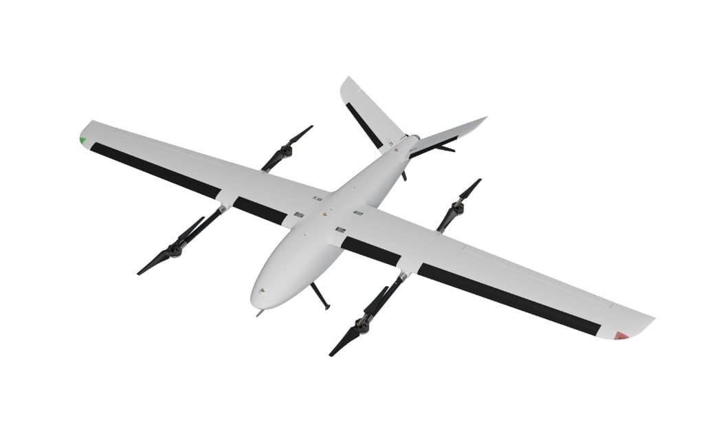
Long-Endurance VTOL & Heavy-Lift UAVs
UAVMODEL X2400 VTOL Fixed Wing Long-Endurance UAV Platform | Up To 240 Minutes Flight Time | 210km Range | 2kg Payload Capacity
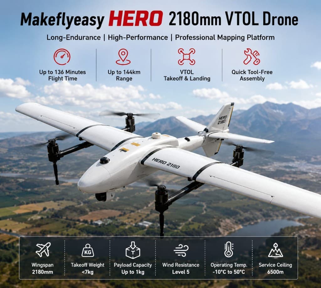
Long-Endurance VTOL & Heavy-Lift UAVs
FlySpark Makeflyeasy Hero 2180mm VTOL Mapping & Survey Drone Platform | 136-Min Endurance | 144km Range | Professional Fixed-Wing VTOL UAV
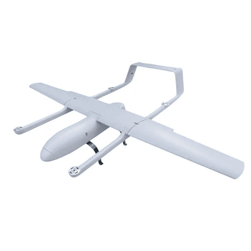
Long-Endurance VTOL & Heavy-Lift UAVs
SKYEYE SVH360 3600mm Hybrid VTOL Long-Endurance UAV Platform | 6-Hour Endurance | 8kg Payload | Heavy-Lift Industrial Drone
Frequently asked questions
What missions fit the SKYWALKER SKY245 2450mm Long-Endurance VTOL Mapping & Survey UAV Platform?
VTOL platforms suit ISR, mapping, border surveillance, and cargo where you need runway-free launch plus fixed-wing endurance. Multirotors remain better for short-range hover tasks.
How is endurance and payload specified?
Published endurance and payload assume standard atmospheric conditions and typical mission profiles. Final figures depend on fuel/battery, sensors, and local density altitude — request a mission quote for your payload list.
Can FlySpark export the SKYWALKER SKY245 2450mm Long-Endurance VTOL Mapping & Survey UAV Platform internationally?
Yes. The SKYWALKER SKY245 2450mm Long-Endurance VTOL Mapping & Survey UAV Platform ships to defense, security, and critical-infrastructure buyers in 50+ countries with full export documentation — end-user certification, dual-use classification, and destination-specific compliance handled before dispatch.
What configurations of the SKYWALKER SKY245 2450mm Long-Endurance VTOL Mapping & Survey UAV Platform are available?
The SKYWALKER SKY245 2450mm Long-Endurance VTOL Mapping & Survey UAV Platform is offered in 5 configurations so you can match range, payload, and integration requirements. Custom builds are available for volume orders.
Do you provide technical support and documentation for the SKYWALKER SKY245 2450mm Long-Endurance VTOL Mapping & Survey UAV Platform?
Every SKYWALKER SKY245 2450mm Long-Endurance VTOL Mapping & Survey UAV Platform order includes datasheets, integration guidance, and compliance paperwork. Our engineering team supports commissioning, spares, and field deployment.
How do I request a quote for the SKYWALKER SKY245 2450mm Long-Endurance VTOL Mapping & Survey UAV Platform?
Published prices are ex-works. Send an inquiry with your quantity and destination for a formal export quote that includes compliance handling and freight.
Can FlySpark export SKYWALKER SKY245 2450mm Long-Endurance VTOL Mapping & Survey UAV Platform to Tonga?
Yes. FlySpark ships to Tonga on the India → Asia-Pacific air freight lane; transit is typically 5–10 days. Counter-UAS and RF items require an authorized end user and may need an import permit — we handle the export documentation with you.
What does SKYWALKER SKY245 2450mm Long-Endurance VTOL Mapping & Survey UAV Platform cost in Tonga?
The indicative price is T$16,700 (TOP, ex-works India, converted from INR on 2026-09-16). Freight, insurance and Tonga import duties are quoted separately; the formal offer is issued in TOP on WhatsApp or email.
How long does delivery to Tonga take?
Standard configurations ship in 4–8 weeks after order confirmation; air freight to Tonga then takes 5–10 days. Custom builds and larger quantities are scheduled at quotation.
Deployment ready
Ready to Deploy?
Contact our defense engineering team for bulk procurement, customization, compliance documentation and field deployment support.